Wu Kau Tang Country Trail
Country Trail

Trail Attributes

Length
2.4 km
Duration
1.25 hours
Region
North New Territories
Overall Difficulty (2-Star Moderate)
Length (Rating 1-Star)
Duration (Rating 2-Star)
Total Elevation Gain (Rating 2-Star)
Surface (Rating 2-Star)

Shading Level
(3 green leaves represent high shading level)

  • (Medium)

Popularity Rating (5 hearts is the highest)

(Rating 2-Heart)

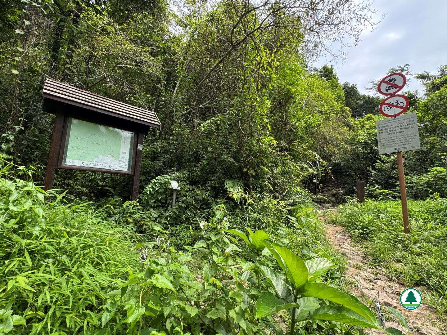
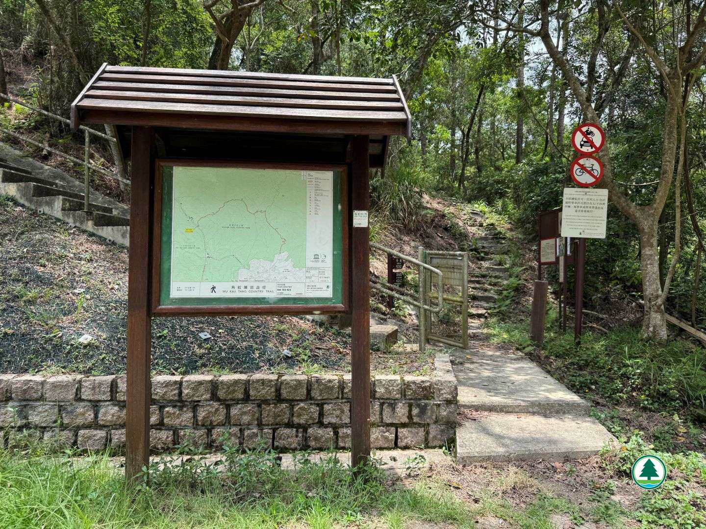
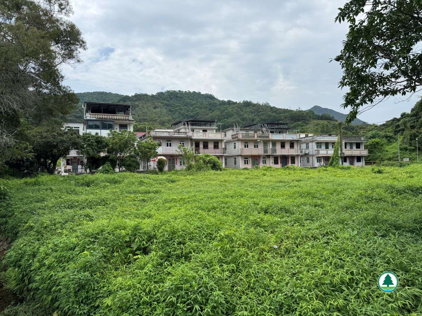
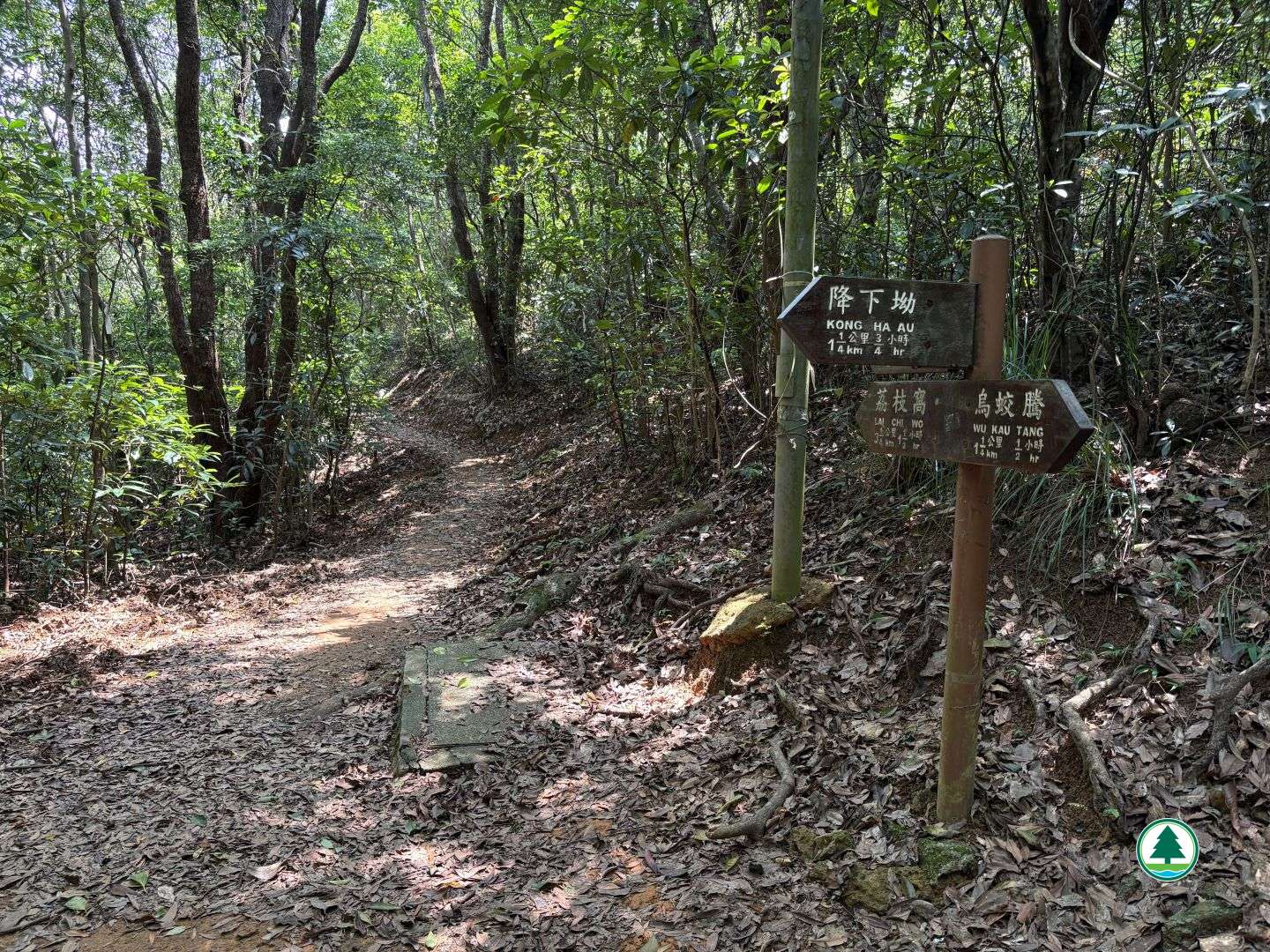
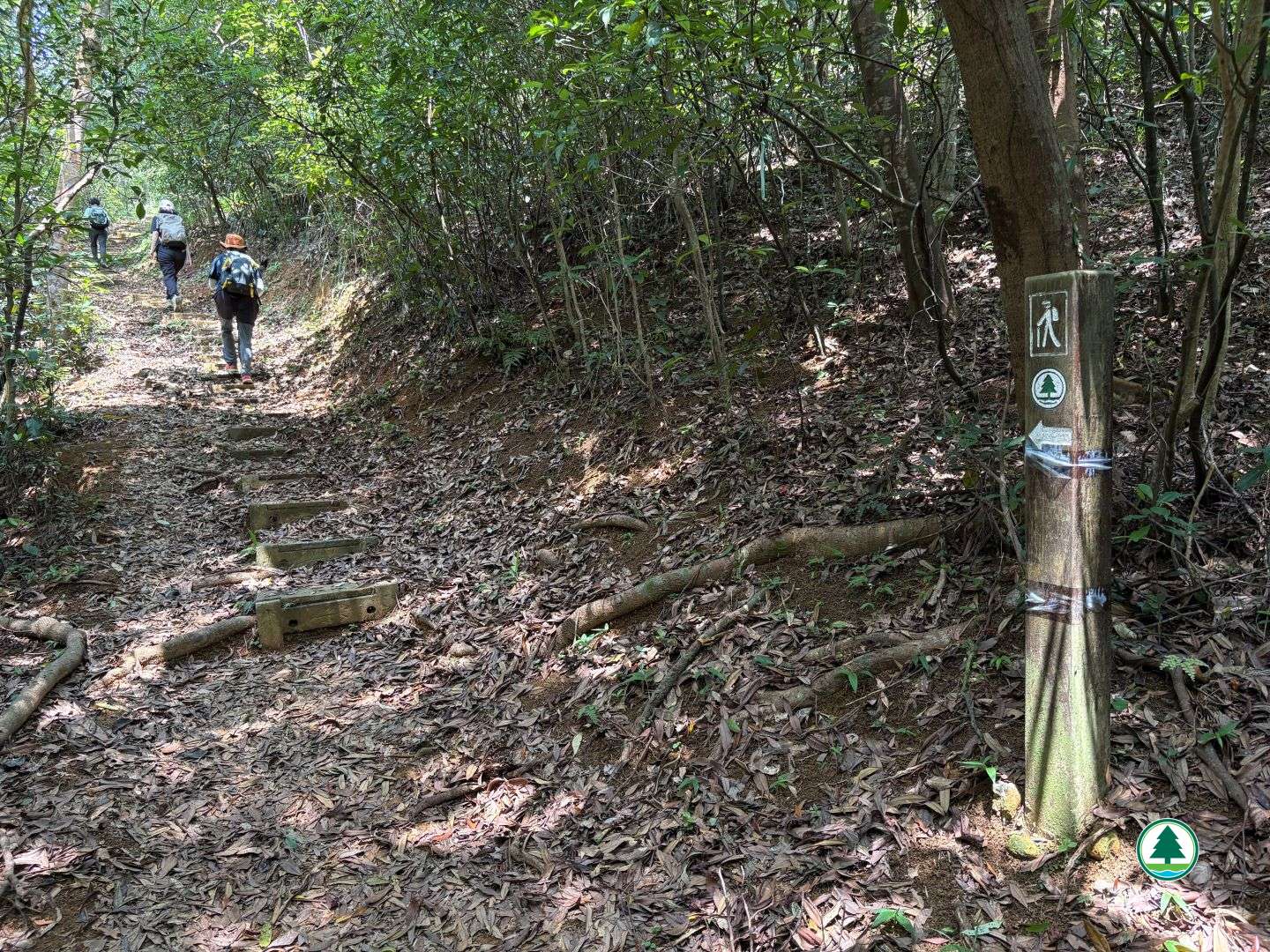
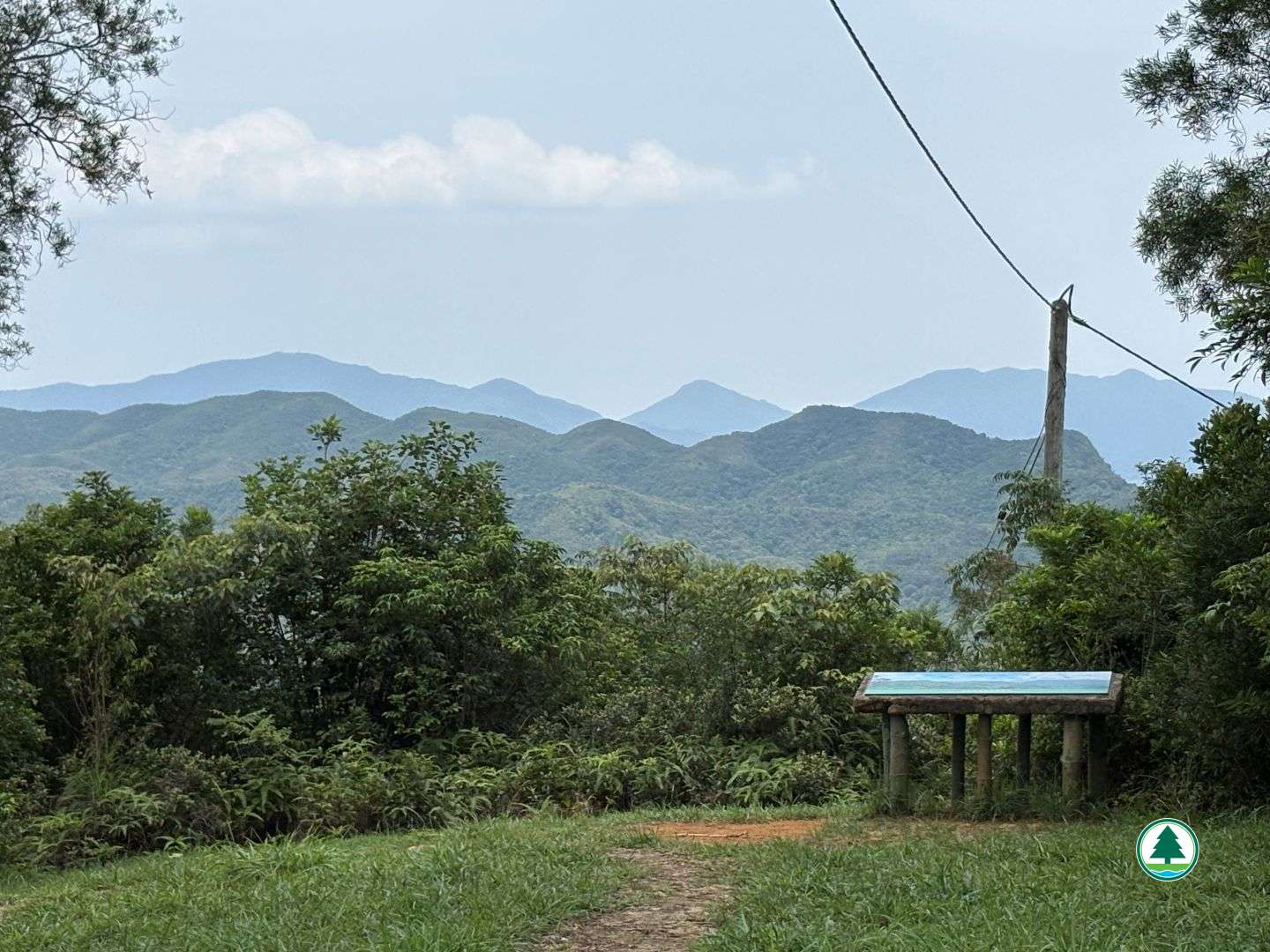
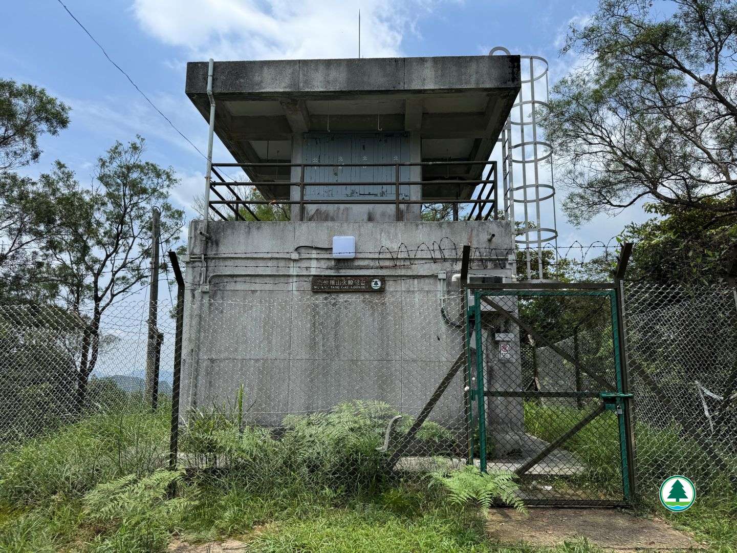
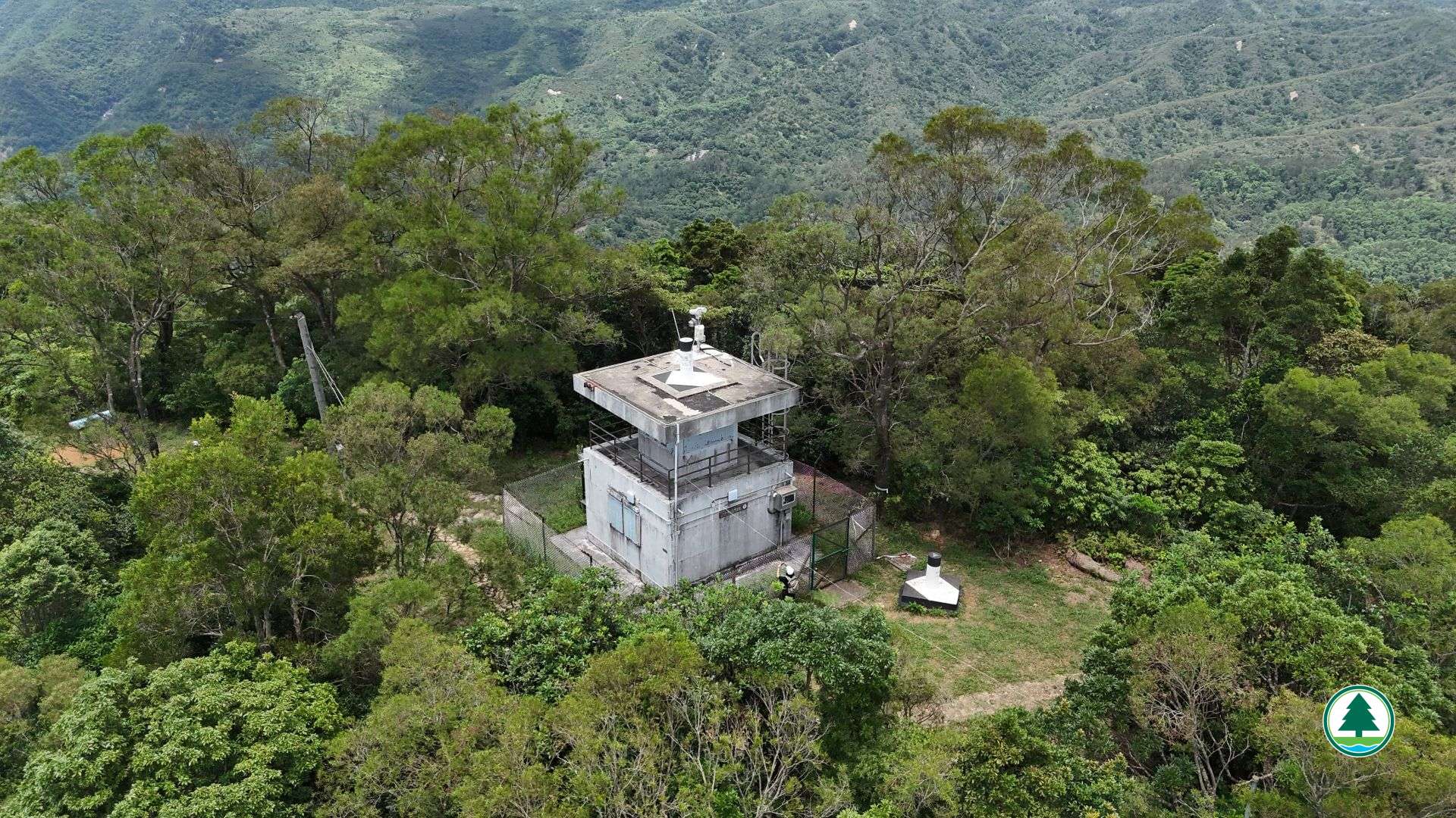
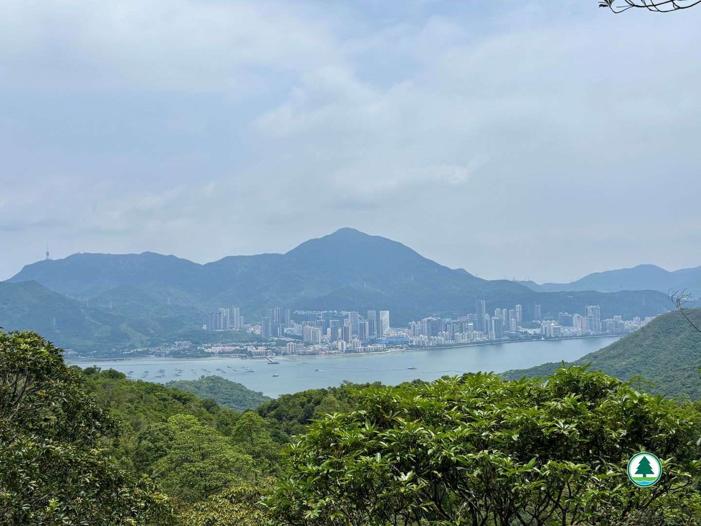
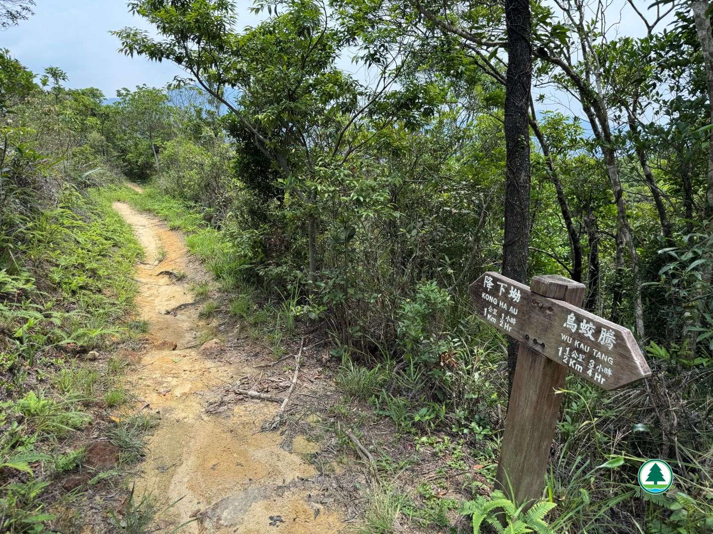
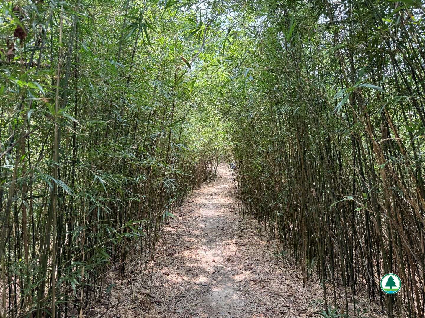
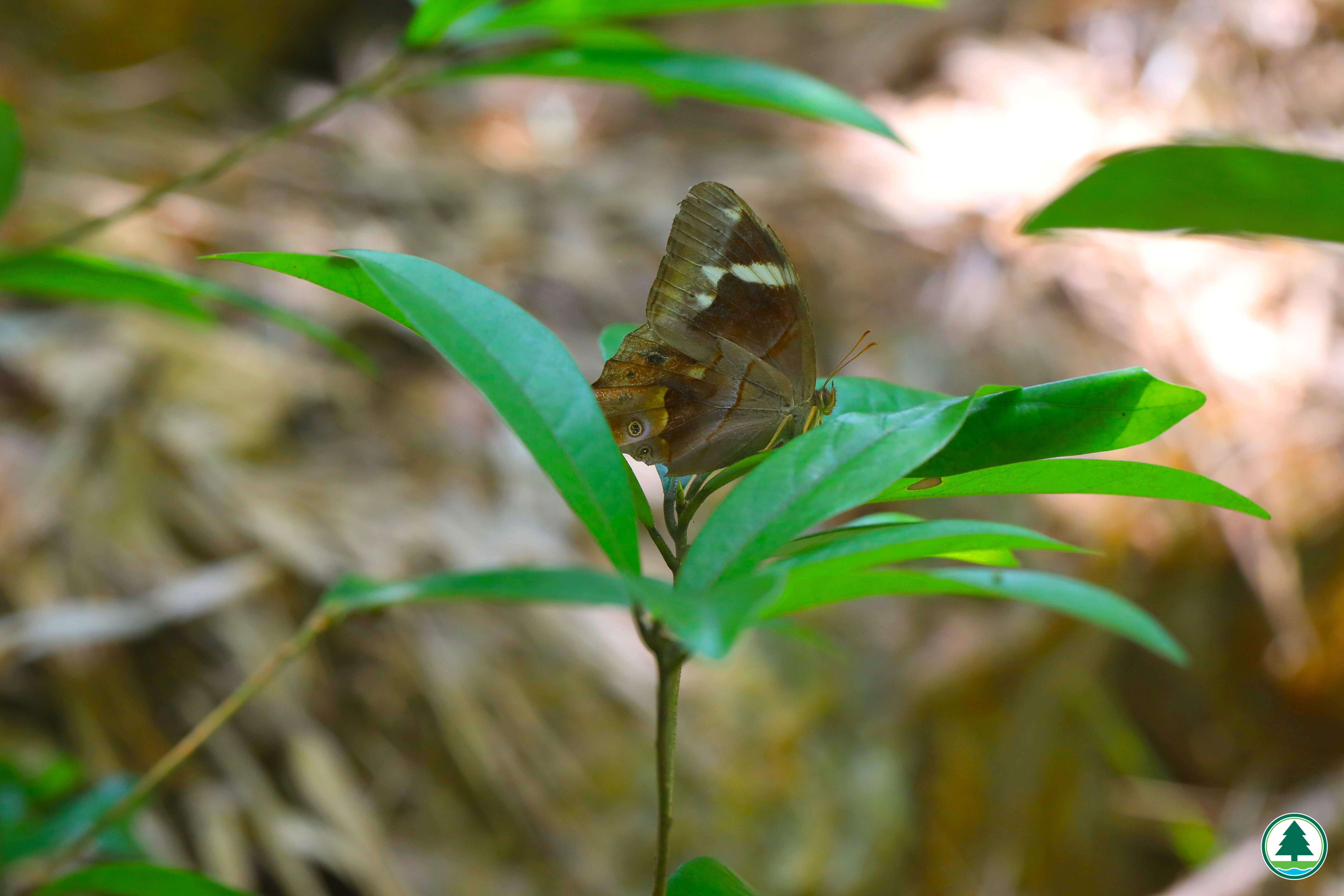
From the starting point, Wu Kau Tang is made up of several small villages, where streams babble gently and fung shui woods keep them company, making it a popular spot for watching butterflies and dragonflies. The opening section of the country trail overlaps with the Ma Tang Ancient Trail, an important route once used by villagers travelling to and from Tai Po Market. Follow the country trail to a junction of trails toward Lai Chi Wo and Kong Ha Au, then continue in the direction of Kong Ha Au. After about 250 m, you will arrive at the Wu Kau Tang Country Trail Viewing Point, where you can gaze out at the rolling mountain ranges of Pat Sin Leng in the distance. It is worth taking a short rest here before continuing. Behind the viewing point stands the Wu Kau Tang Fire Lookout. Hill fires are among the greatest threats facing the natural habitats of country parks, and fire detection is vital to firefighting operations within them. A total of 11 fire lookouts across Hong Kong quietly stand guard over the hills and woodlands. Continuing along the trail, before long the scenery of Sha Tau Kok, Robin's Nest and Shenzhen Wutong Mountain comes into view, with ranges near and far all taken in at a single glance. After another 500 m or so along the trail, you will step into a tranquil bamboo tunnel. With its quiet and pleasant surroundings, it is worth slowing your pace here to savour the bamboo grove, or to pause for a photo and capture the beauty of the scene. After passing through the bamboo tunnel, continue ahead for about 600 m to reach Bride's Pool Road, the endpoint of the Wu Kau Tang Country Trail.


To facilitate the public in planning their hikes, the geographical information of the route, including the route map, starting point, endpoint, and elevation chart, has been saved in a "GPX" file. The public can download hiking-related applications on their smartphones or smart watches, then click on the following "GPX" file to import the relevant information, which serves as an aid for hiking. Please note that downloading "GPX" files may increase data usage, and the functions and content display may vary depending on the device and application used.


Transportation Information

Starting Point
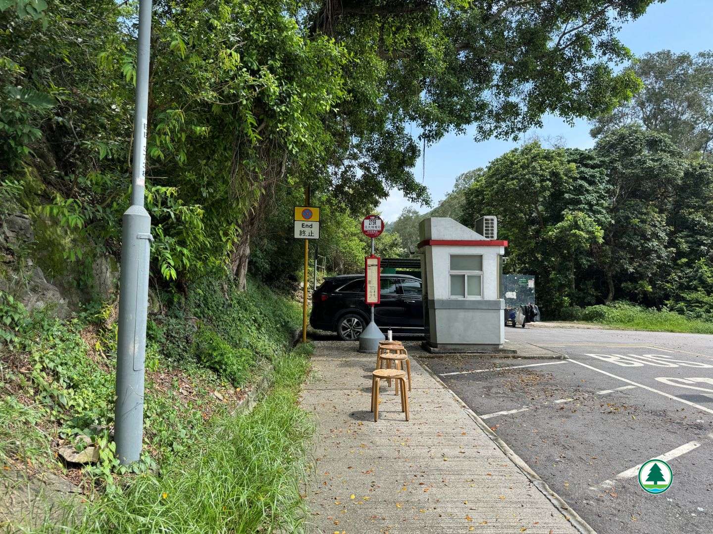
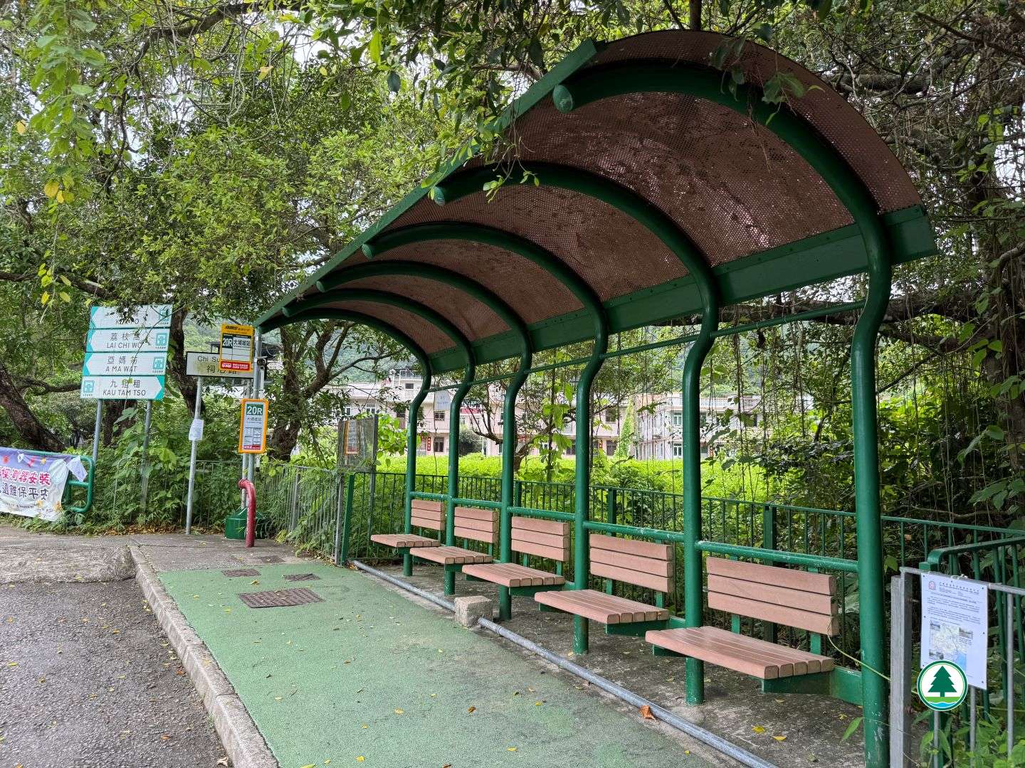
Take a KMB route to the Wu Kau Tang Bus Terminus, then walk about 600 m to the starting point; or take a green minibus route to the "Wu Kau Tang" minibus stop, then walk about 300 m to the starting point.

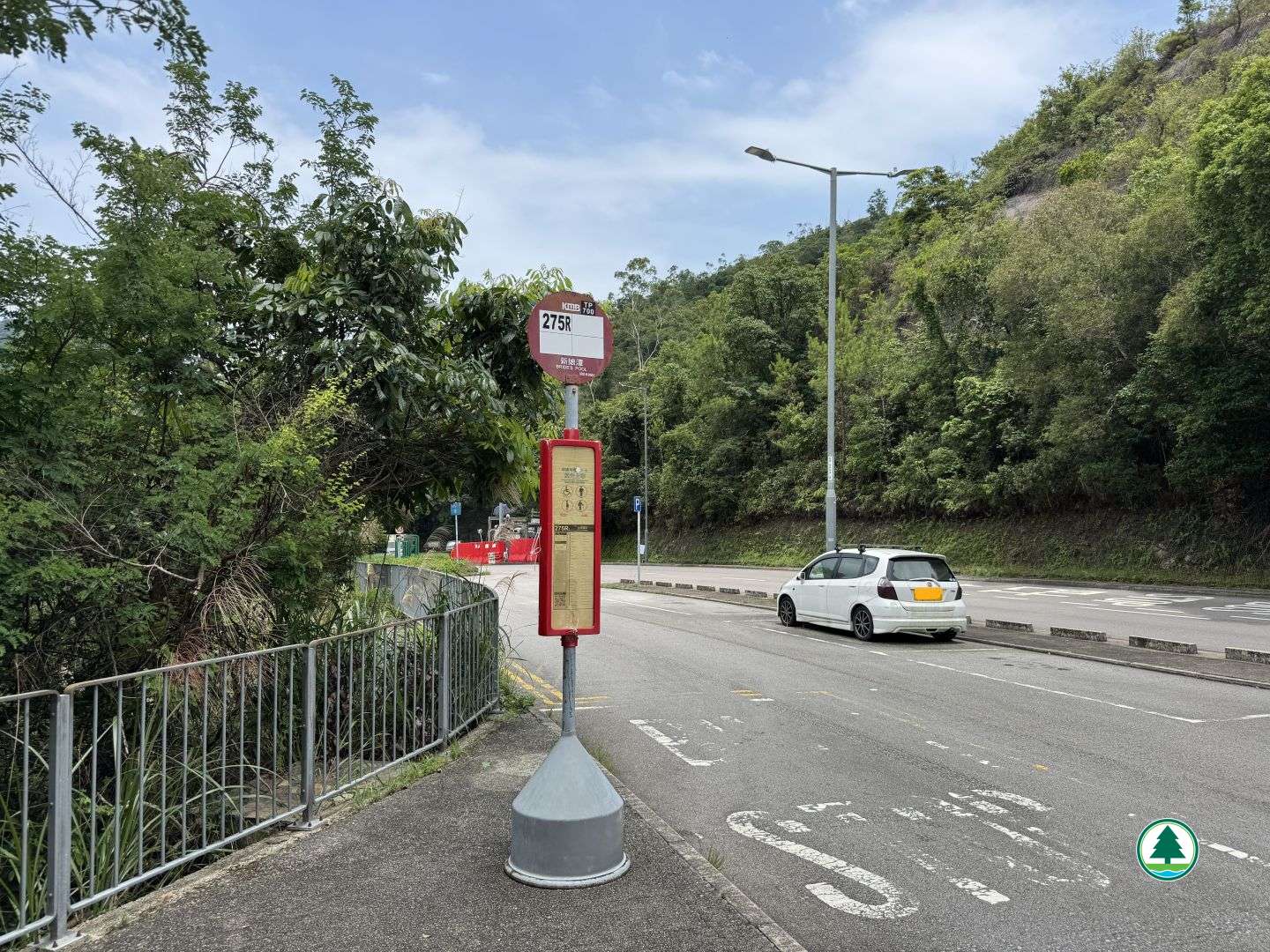
Kowloon Motor Bus (KMB) route - 275R (runs on Sunday and public holiday only)
Green Minibus route - 20R


Endpoint
From the endpoint, walk about 1.5 km along Bride's Pool Road to the "Bride's Pool" bus stop and minibus stop, then take public transport to leave.

Kowloon Motor Bus (KMB) route - 275R (runs on Sunday and public holiday only)
Green Minibus route - 20R

The transportation information provided in this website is for reference only. Please check the updated transportation information from the websites of Transport Department and relevant transport utilities before setting off.

HKeMobility web page
https://www.hkemobility.gov.hk/

Route Map

The map below shows the route and scenic spots along the hiking trail.
For details, please refer to the transportation information above and photos below.

Total Length: 0Max Elevation: 0Min Elevation: 0
Nearby Attraction #Ma Tang Ancient Trail 
Related Trails